Ancient Woodland
Over 32,000 sq km of woodland exists in the UK, but only 2.5% of that is ancient woodland.
Ancient woodlands have persisted since 1600, however, they now cover just 2.5% of the UK forest, making them rare and endangered habitats with unique and complex communities of plants, fungi, insects, and other microorganisms.
We can define Ancient woodland by examining historical maps and current records, and by surveying the plants within the woodland. They often have plants that spread slowly, such as Wood anemone, Wood sorrel, and Ransoms (wild garlic), as well as plants whose seeds fall close to the parent, like the Wild service tree.
Many of our ancient woodlands have been damaged or destroyed over the last hundred years, largely by conversion to conifer plantations or clearance for agriculture and they remain threatened.
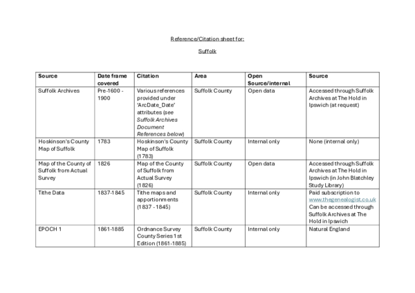
Ancient Woodland was first formally mapped and documented in 1980s, forming the Ancient Woodland Inventory (First Edition). SBIS updated these data from 2021-2025 to form the Ancient Woodland Inventory (Second Edition) and added Ancient Wood Pasture and Parkland too. The map below shows project results; the First (1980s) and Second (2025) Edition of the Ancient Woodland Inventory along with the added Ancient Wood Pasture and Parkland (2025). Click on individual sites for more details. For more information on the project, please see our Ancient Woodland Inventory Update (2021-2025) page below.
Natural England maintains and updates this dataset on their map: Ancient Woodland - Revised (England) - Completed Counties | Natural England Open Data Geoportal
Map updated: October 2025
- Disclaimer: We are pleased to share the results of the Ancient Woodland Inventory Update project with you. Please review the following important information regarding the use of this map.
- Access and Rights of Way: The features displayed on this map are for informational purposes only. The map does not grant any right of way, nor does it imply permission for access to any specific sites. All users must respect private property boundaries and legal access restrictions.
- Data Accuracy and Reporting: While we strive for accuracy in our records, data presented here may contain errors. Your assistance in improving our information is greatly appreciated. If you identify any inaccuracies, please kindly report them using our Contact Us form.
- Project End: This map represents the final data collected at the conclusion of the project (October 2025). Please note that the information on this map is not being actively updated. Natural England maintains and updates these data on their map: Ancient Woodland - Revised (England) - Completed Counties | Natural England Open Data Geoportal
Do you own or manage a wood, or advise on woodland management?
The Woodland Wildlife Toolkit provides advice on managing woodlands for wildlife, particularly rare and declining species that are dependent on woodland habitats.


